






The DJI Matrice 400 Features Intelligent Automation and More
Michael Hemsworth — June 13, 2025 — Tech
References: enterprise.dji & geeky-gadgets
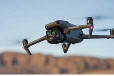
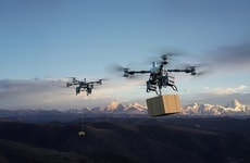
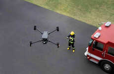
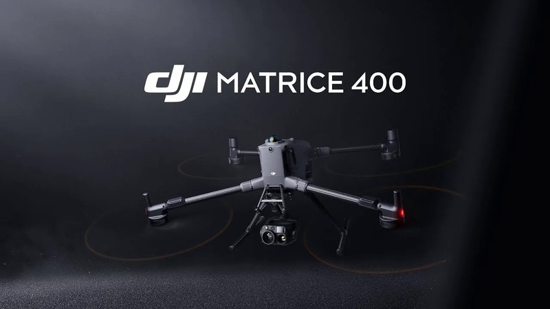
The DJI Matrice 400 Professional Enterprise Drone has been launched by the brand's enterprise division as a pro-grade model engineered with the demands of high-stakes industries in mind. The drone combines intelligent automation, advanced imaging and impressive performance to give it a well-rounded profile for use in infrastructure inspections, emergency response, terrain mapping and more. The drone is rated to deliver up to 59-minutes of flight time per charge with the ability to handle payloads up to six-kilograms.
The DJI Matrice 400 Professional Enterprise Drone is finished with an IP55 rating to easily withstand exposure to the elements and keeps operations safer with its advanced obstacle sensing system. This utilizes LiDAR, mmWave radar and full-color, low-light fisheye vision sensors to effectively detect obstacles that could be nearly invisible, including power lines.
The DJI Matrice 400 Professional Enterprise Drone is finished with an IP55 rating to easily withstand exposure to the elements and keeps operations safer with its advanced obstacle sensing system. This utilizes LiDAR, mmWave radar and full-color, low-light fisheye vision sensors to effectively detect obstacles that could be nearly invisible, including power lines.
Consumer Demand Drives Foldable and Multi-Screen Devices
Consumers are adopting foldable and multi-screen devices as they seek more versatile and pocketable screen options for enhanced mobility and functionality.
Question 1
Which of the following types of devices have you personally used in the past 12 months?
Select up to 8
Question 2
What are the main reasons you use or chose this type of device?
Select up to 3
Question 3
How likely would you be to choose a foldable or multi-screen device the next time you purchase a smartphone, tablet, or laptop?
Trend Themes
-
Intelligent Autonomy — Drones like the DJI Matrice 400 are leveraging intelligent automation to enhance efficiency and precision in critical industries.
-
Advanced Imaging Systems — The integration of advanced imaging technologies, including LiDAR and low-light fisheye sensors, in enterprise drones opens up new possibilities for detailed and accurate data collection.
-
Extended Flight Capabilities — Extended flight times and increased payload capacities are transforming drones into powerful tools for long-duration missions such as infrastructure inspection and emergency response.
Industry Implications
-
Infrastructure Inspection — The deployment of advanced drones is revolutionizing the infrastructure inspection industry by enabling safer, faster, and more thorough assessments of structures.
-
Emergency Response — Incorporating drones with sophisticated sensory and imaging technologies enhances the emergency response sector by providing real-time situational awareness and rapid deployment capabilities.
-
Geospatial Mapping — The geospatial mapping industry benefits from new drone models capable of detailed terrain analysis and data capture, improving accuracy and efficiency of mapping processes.
7.8
Score
Popularity
Activity
Freshness